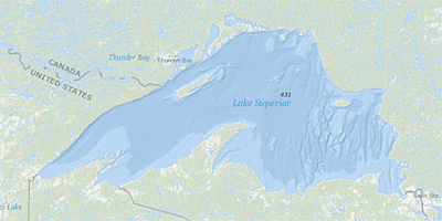
Lake Superior
 Lake Superior is a vast fresh water resource that has not experienced the same levels of development, urbanization and pollution as the other Great Lakes. Recognizing the unique qualities of this resource, the United States and Canada are working to restore and protect the Lake Superior Basin. Their focus is the entire Lake Superior ecosystem - air, land and water – to restore degraded areas and protect this unique headwater lake for the people and wildlife that use it.
On this page:
About Lake Superior
- The largest by volume
- The deepest and coldest
- Retention time = 191 years (a measure based on the volume of water in the lake and the mean rate of outflow)
- Most of the Superior basin is forested, with little agriculture because of a cool climate and poor soils.
- Sparse population
- Relatively few pollutants enter Lake Superior, except through airborne transport
- The shoreline and islands that rim the lake stretch 2,726 miles
Average Depth*: 483 ft.
Maximum Depth*: 1,332 ft.
Volume*: 2,900 cubic mi.
Water Area: 31,700 sq. mi.
Land Drainage Area: 49,300 sq. mi.
* measured at low water
Environmental Issues
The following links exit the site Exit
- Phosphorus
- Nitrogen
- Sediment
- Bacteria
- Chloride (Salts)
- Pollutants of emerging concern
- Non-point source issues
- Contaminated sediments
- Water stressors
What is EPA Doing?
- Lake Superior LAMPS and Associated Reports
- Lake Superios Great Lakes Areas of Concern AOCs
- Deer Lake AOC - Michigan - DELISTED
- St. Louis River AOC - Minnesota, Wisconsin
- Torch Lake AOC - Michigan
- St Marys River AOC - Michigan and St. Marys River AOC - Canada EXITis a binational Area of Concern
- Thunder Bay AOC - Canada EXIT
- Nipigon Bay AOC - Canada EXIT
- Jackfish Bay AOC - Canada EXIT
- Peninsula Harbour AOC - Canada EXIT
- Ecosystem Principles and Objectives, Indicators and Targets for Lake Superior
- Great Lakes Restoration Initiative Grants
- Regents of the University of Minnesota ($500,000) for invasive species prevention
- Lake Superior Aquatic Invasive Species Complete Prevention Plan - 2014
- Lake Superior Climate Change Impacts Report - 2014
- Lake Superior Critical Chemical Reduction Reports
- Lake Superior Strategic Outcomes and Ecosystem Goals - 2008
- Lake Superior Binational Monitoring Workshop - 1999