High-End Scientific Computing
High-end scientific computing, geospatial services, and remote sensing/imagery analysis support EPA’s mission by helping the Agency’s program offices and regions meet specialized needs. These services consolidate expensive resources (computers, software and data) and diverse scientific and technical skills to provide the Agency with needed access to geographical, remotely-sensed, and scientifically-supported IT knowledge and tools.
Modeling and Visualization
 EPA's Environmental Modeling and Visualization Laboratory supports complex environmental and human health research.
High Performance Computing
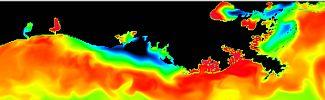 Learn how High Performance Computing enables scientific research to move at a quicker pace.
National Geospatial Support
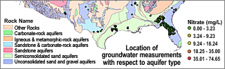 Read about support available to EPA staff for environmental analysis and decision-making through the use of geospatial tools and data.
 Remote Sensing and Imagery Analysis
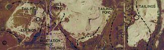 Learn about how this service provides geographically-based data collection and analysis.