Stories of Progress in Achieving Healthy Waters
U.S. EPA Region 3 Water Protection Division
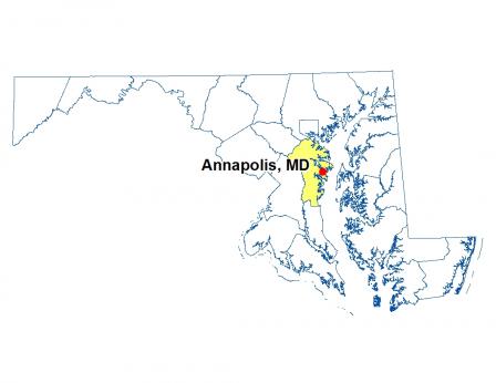
Annapolis, Maryland • December 10, 2015
The Watershed Resources Registry (WRR) Exit – catching on across the nation – helps target protections in specific watersheds using layers of data and information entered by state and federal agencies into a Geographic Information System (GIS) program.
The GIS tool ranks sites from one to five stars and lets decision-makers zero in on the best opportunities for protecting, restoring and conserving watershed lands, and improving stormwater management.
The registry includes a variety of data sets, from soil type, land cover and flood plains to impaired and high quality streams, protected lands and wetlands inventories. It allows users to identify candidate locations, assess and compare potential projects and their environmental impacts, and export data and print site maps for field visits.
The Maryland State Highway Administration is using the WRR to help find appropriate sites for projects to meet Chesapeake Bay Total Maximum Daily Load “pollution budget” requirements.
The Maryland Department of the Environment incorporates the WRR in a framework for prioritizing wetlands sites to be restored or preserved with funds paid by permittees whose actions unavoidably disturb other wetlands – the “in lieu fee” program. The tool is also used to target mitigation sites for Clean Water Act Section 404 wetlands-related projects.
The benefits of the WRR are being recognized around the region – even across the country. WPD’s Office of State and Watershed Partnerships is working with Pennsylvania and Delaware to establish a WRR in those states. Initial meetings also have been held with the District of Columbia and Virginia, and more than 14 states outside the region have expressed interest in the tool. A national WRR webinar was held in December 2015.
A product of the Green Highways Partnership Exit, the WRR was developed through interagency collaboration to move mitigation, protection and conservation efforts away from a single-program approach toward an integrated, watershed view that meets multiple environmental program goals. Recognized as a best practice by EPA’s Office of Water, the WRR is available to the public through a web app Exit.
- National Interest Shown in Watershed Mapping Tool (PDF)(1 pg, 663 K, 2015-12-10)