Indicators: Physical Habitat Complexity
What is physical habitat complexity?
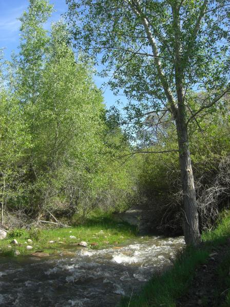
Physical habitat complexity measures the amount and variety of all types of cover, both living and non-living, at the water’s edge in lakes. These features include vegetative cover such as overhanging or submerged tree limbs, shrubs and other plants growing along the shore, and non-living features such as boulders, rock ledges and undercut banks that provide habitat and refuge for organisms at the land-water interface.
Why is it important to evaluate physical habitat complexity?
By combining data on shoreline vegetation and shallow water habitats, this indicator provides a comprehensive view of the diversity and complexity of habitat found at the water’s edge, and its ability to buffer lakes against human disturbances such as polluted runoff.
What can physical habitat complexity tell us about the condition of water?
Lake shore conditions vary naturally along different ecological regions of the U.S. Lakes with dense shoreline vegetative cover of varied age and type and with complex physical features at the land-water interface are generally better able to support diverse communities of aquatic life.