Find Information about Local Radon Zones and State Contact Information
On this page:
- EPA Map of Radon Zones including State Radon Information and Contacts
- Resources about State and Local Radon Programs
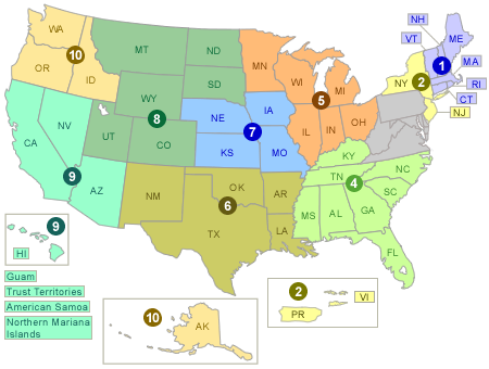
EPA Map of Radon Zones including State Radon Information and Contacts
Find local information related to radon, including your state radon program, with contact information, EPA Regional contacts and a state-specific map.
The Map of Radon Zones was developed in 1993 to identify areas of the U.S. with the potential for elevated indoor radon levels. The map is intended to help governments and other organizations target risk reduction activities and resources. The Map of Radon Zones should not be used to determine if individual homes need to be tested. No matter where you live, test your home for radon—it’s easy and inexpensive. Fix your home if your radon level is 4 picocuries per liter (pCi/L) or higher. Consider fixing if your level is between 2 and 4 pCi/L.
The Map of Radon Zones was developed using data on indoor radon measurements, geology, aerial radioactivity, soil parameters, and foundation types. EPA recommends that this map be supplemented with any available local data in order to further understand and predict the radon potential for a specific area.
Resources about State and Local Radon Programs
- View a Radon Zones-Spreadsheet(659 K, March 2020, EPA 402/A-16/001)
- Some states "regulate" or "qualify" providers of radon measurement and mitigation services by requiring registration, certification or licensing; some issue identification cards. Your state can provide you with more information. To date, the following states have some form of radon requirements for radon service providers: CA, DE, FL, IL, IN, IA, KS, KY, ME, NE, NJ, OH, PA, RI, VA and WV.
- Regional Radon Training Centers
- EPA's Indoor Air Quality Tribal Partners Program
- EPA's State Environmental Agencies List
- Tribal Indoor Air Quality Programs in the Spotlight
- National Radon Action Month Information
- Browse current and past National Radon Action Month Events Exit
- Building Codes for Radon-Resistant New Construction
- Centers for Disease Control and Prevention's (CDC) Indoor Air Quality Information by StateExit
- Environmental Law Institute Database of Radon Laws Exit