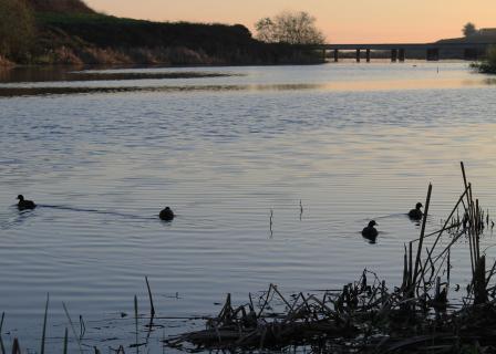
Planning in California Pays Off for Wetlands
Like many states in the West, water supply issues and the loss of wetland acreage are significant concerns in California. Many efforts have come about in response to these issues, one in particular being The California Wetland Monitoring Workgroup (CWMW). Formed in 2008 to expand wetland monitoring and now operating under the auspices of the California Water Quality Monitoring Council, the CWMW acts as the oversight committee for implementation of the Wetland and Riparian Area Monitoring Plan (WRAMP). The CMMW’s broad sphere of influence covers an area 1000 miles long and encompasses three Army Corps of Engineers districts as well as nine California Regional Water Quality Control Boards. Several current and former Wetland Program Development Grants (WPDG) have funded a variety of efforts, the collective goal of which was to create a coordinated monitoring toolset based on EPA’s incremental Level 123 Framework. The framework is three approaches to wetland monitoring; level 1 being landscape level assessments, level 2 uses relatively simple, rapid protocols and level 3 is a more intensive site assessment.
Implementation of the Wetland and Riparian Area Monitoring Program is the main effort of the group. The WRAMP seeks to regularly report on trends in wetland extent and condition, and to relate these trends to specific management actions to help inform future decisions. Key components include developing the California Aquatic Resource Inventory, creating a Status and Trends Program, implementing use of the CRAM in regulatory monitoring programs, advancing current Level 3 estuarine monitoring protocols to complement CRAM and producing EcoAtlas. A state-of-the-art software program, EcoAtlas provides accesses to numerous databases, allowing users to see wetland and stream maps, project information, census information and a variety of watershed and water quality data. It also generates a “watershed profile” either from user-defined polygons or for watersheds created from digital elevation models.
The benefits to the entire user community from the development and implementation of the WRAMP toolset are immense. The South Pacific Division has embraced CRAM for use in the Clean Water Act section 404 program. The State Water Resources Control Board and its nine Regional Boards have encouraged the use of WRAMP and its key components for use in the Clean Water Act section 401 Water Quality Certification Program. One Regional Board in the Tahoe Basin is poised to require use of CRAM and EcoAtlas in its 401-certification program. Numerous tribes are trained in WRAMP, CRAM, and EcoAtlas. Finally, the use of EcoAtlas is growing commensurate with its increased functionality. Several WPDGs are increasing the data functions of EcoAtlas for application in the San Francisco Bay-Delta Region, an area of continued interest and wetland restoration opportunity as the state grapples with resolving the concerns of Delta ecosystem degradation and water supply issues.

