Why is Improving Water Quality in the Gulf of Mexico so Critical?
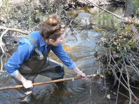
 Water sampling in Pearl River County, MSThe Clean Water Act provides authority and resources that are essential to protecting water quality in the Gulf of Mexico and in the larger Mississippi River Basin. The EPA regional offices and the Gulf of Mexico Program work with states to continue to maximize the efficiency and utility of water quality monitoring efforts for local managers by coordinating and standardizing state and federal water quality data collection activities in the Gulf region. Enhanced monitoring and research is needed in the Gulf Coast region to make data more readily available.
Water Quality Projects in the Gulf of Mexico
Lowry Park Zoo
Lowry Park Zoo and the Gulf of Mexico Program have entered into a cooperative agreement along with other partners such as Hillsborough County and the Tampa Bay Estuary to develop a water resource master plan for the zoo to reduce nutrients. In the area surrounding the zoo, there is an abundance of nutrients being deposited into the watershed. One of the causes of excess nutrients is the deferred maintenance of area residential septic tanks systems, which results in toxic water.
Through this cooperative agreement, Lowry Park Zoo will develop a master plan to assist the zoo in becoming a self-contained site. The goal of the plan is to reduce the amount of wastewater being discharged into Hamilton Creek, a tributary to the Hillsborough River that discharges into Tampa Bay.
Characterizing and Addressing Contamination from Septic System Effluent in the Lower Black Warrior River Watershed
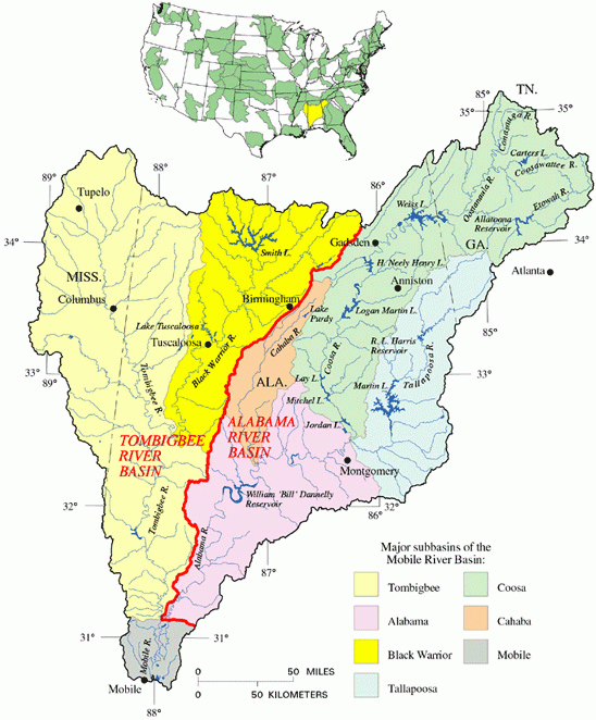
 Black Warrior River Basin Map Courtesy of U.S. Army Corps of Engineers, Mobile DistrictThe University of Alabama's Department of Civil, Construction and Environmental Engineering and the GMP will bring together five major stakeholders to characterize and address one of the great environmental and public health challenges in rural Alabama. The soil and geological conditions and economic realities of the Lower Black Warrior River watershed, make it very difficult for the operation of onsite wastewater treatment systems, such as residential septic tank systems.
Poorly treated or untreated residential wastewater is a major issue and creates a hazard for both the local and regional water resources and more importantly, to the overall public health of the community. Although this issue is widely acknowledged, the scope of the adverse impacts, the geographic areas of the greatest threats, and the feasibility and effectiveness of possible solutions have not been adequately addressed. In addition, the lack of safe and affordable sanitation options for the rural economically disadvantaged creates a major environmental justice issue.
The objectives of this project are to:
- characterize the mobility of septic system effluent in sites representative of the soil and geological conditions in the Lower Black Warrior River watershed
- use these results to identify the locations where septic systems are most likely to impact water bodies
- implement an effective program to educate, encourage and promote homeowners with septic systems near these water bodies to carry out timely pumping-out and maintenance on their systems
- establish a committee of stakeholders and researchers to evaluate and report on the feasibility of connecting more communities to public sewers or establishing small decentralized community-scale wastewater treatment solutions
North Water Tower Park Community Restoration and Education Initiative
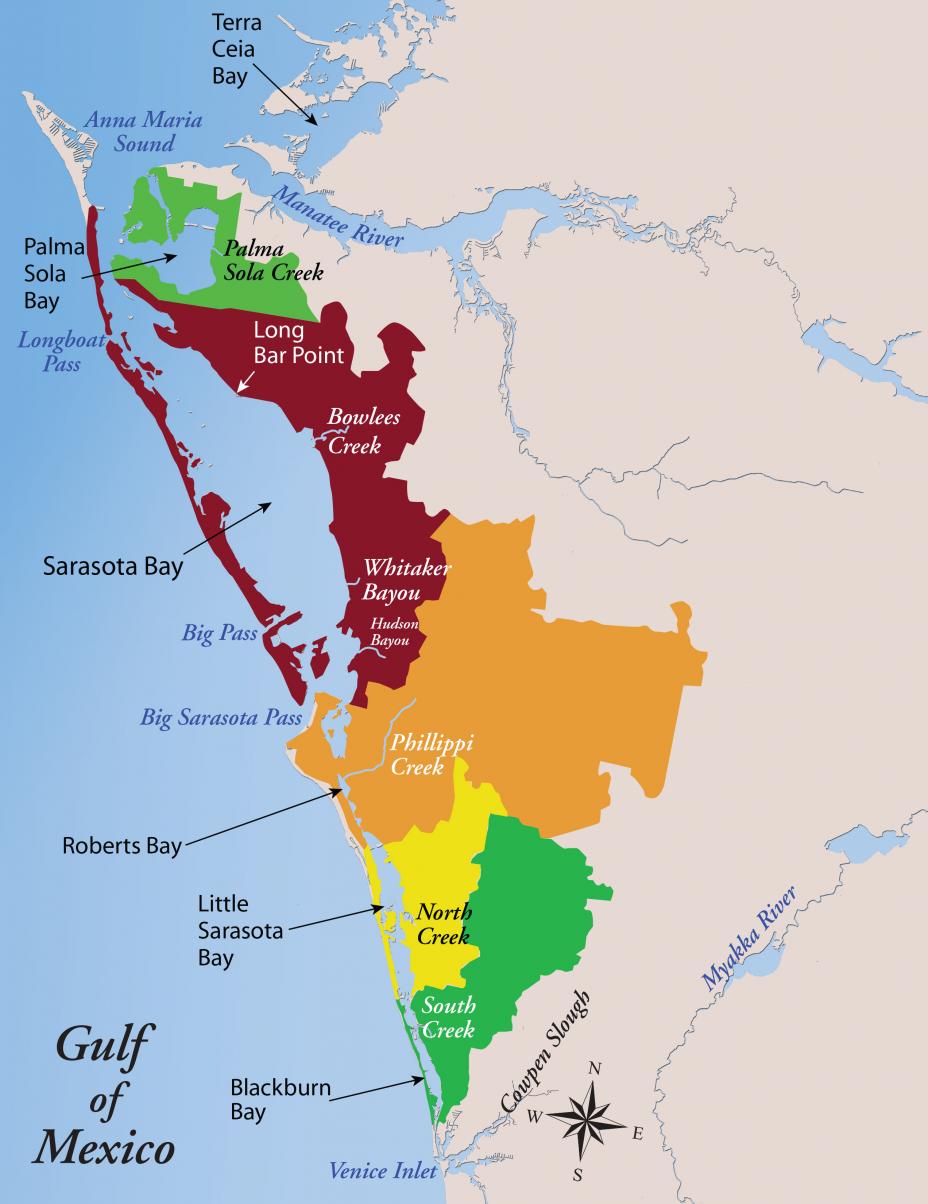
 Sarasota Bay Estuary Program (SBEP) and the Gulf of Mexico Program (GMP) are partnering to continue addressing the issue of stormwater as a major pollutant at the North Water Tower Park (NWTP), which is a 20-acre park located in North Sarasota, Florida. Treatment of this stormwater is vital to protecting the local water body and restoring areas where it has caused adverse environmental impacts.
Currently, the stormwater draining from the North Trail and adjacent properties is routed through an undersized pipe to a canal. From there, the stormwater flows into Whitaker Bayou, which is a major tidal tributary into Sarasota Bay. At this time, there is very little retention time for the stormwater to soak into the ground.
This project will physically redesign certain areas to be improved “Low Impact Design” which will better retain the stormwater in a beneficial way. Bioswales, which are storm runoff conveyance systems that provide an alternative to storm sewers, will be designed and planted with native vegetation. By returning the land surface to a more natural setting with the bioswales, the natural connectivity will improve habitat and provide better and safer access for the neighborhood.
