2014 NATA Map
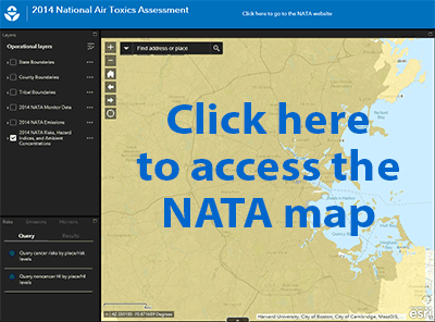
The 2014 NATA Map application lets you display risks, emissions, and other NATA data on a map. You can quickly display these data by clicking on the map. The map app’s search tool lets you “zoom” to places of interest anywhere in the country. You can also download all NATA data and results, and run queries to find just the information you want.
Map layers include:
- cancer risks and respiratory hazard indexes;
- annual ambient concentrations;
- all emissions sources modeled in NATA; and
- air toxics monitoring sites with recent-year air toxics monitoring data.
You can use the NATA Map app on a computer or mobile device.
Please Note: EPA has posted information on this site as a convenience to the site’s users. Although EPA has made every effort to ensure the accuracy of the information posted on this site, users of this site should not rely on information relating to environmental laws and regulations posted on this site. Portal users are solely responsible for ensuring that they are in compliance with all relevant environmental laws and regulations. In addition, EPA cannot attest to the accuracy of data provided by organizations outside of the federal government. By providing data or other information for use and potential display on this site, users acknowledge that they have obtained all necessary permissions and authorizations to do so, in compliance with all applicable statutes and regulations.