Tutorials
Learn how to use the EnviroAtlas Interactive Map, an easy-to-use tool that allows users to discover, analyze, and download geospatial data related to ecosystem services, their stressors, and human health.
Interactive Tutorial Story Map
The tutorial story map is an interactive guide to learn about the EnviroAtlas mapping application. The Story Map contains short video clips (< 30 seconds) and guidance text describing available tools, features, and functions. Navigate to different tabs in the story map for guidance on topics of interest. 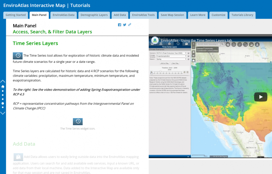 Screen capture of the Main Panel portion of the story map
Some of the topics available in the story map include:
- Access National, Community, and Demographic Data
- Use Analysis Tools
- Save Your Map Session
- Your Own Data
YouTube training videos
Want to see demonstration videos but don't need step-by-step guidance? Try our Video Tutorial Library.
The embedded video below is one example of the available video tutorials. There are 26 short tutorial videos (<30 seconds long) with no sound.
Guides
- This Quick Start Guide provides a 1-page visual overview of the EnviroAtlas Interactive Map features and functions.
- The EnviroAtlas Interactive Map User's Guide provides detailed instructions and guidance on the Interactive Map in pdf format, and is currently being updated.